
Kevin Selle
Wichita Falls, TX
Male, 55


I've been a broadcast meteorologist on television since the early 1990's. Happy to answer any questions about the weather or local TV news. Yes, I often wear sneakers on set just out of view of the camera.
I usually answer this questions like this. I really don't like the use of the word "normal" in weather. "Average" is better. Over simplified, if the "normal temperature for this date is 75 degrees and we look a the records for the last 100 years. In theory half of those years the temperature could have been 50 degrees and half 100 degrees. The "normal" is 75 but it was never 75. So, there are swings in the global weather patterns constantly you're at one end of the swing! Hope that makes sense.
Share Answer: 

We use the weather forecast models and the other tools mentioned in your other question to generate a forecast and then use television, radio and social media to share information.
Share Answer: 
Hi, Erin. I’d go to weather.gov (not .com). Click on your area of the map and it will take you to the local National Weather Service office and you’ll see phone and email on the bottom. Good luck.
Share Answer: 
Yup! Any body of water. Glad you got to see one! https://en.m.wikipedia.org/wiki/Waterspout
Share Answer: 
Border Patrol Agent
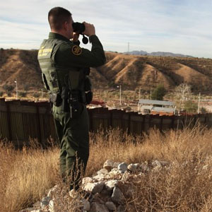 How easy is it to forge a US passport?
Track and Field Coach
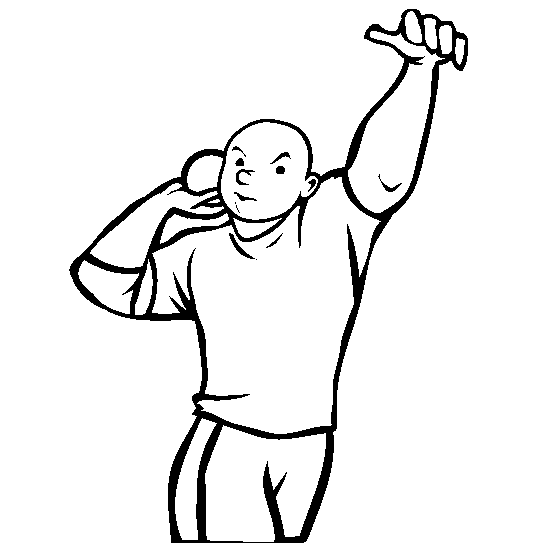 Do you let your athletes play another sport in the off-season?
Firefighter
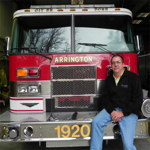 How can you tell if a fire was arson?
Interesting, and pretty broad question. Probably little out of my area. Maybe look to some US government resources like FEMA? Thanks.
Share Answer: 
Yup. Sure can. Cold air moving into an area, cold air advection, can drop the temperature. And something called evaporative cooling can happen when it is raining. The friction with the air caused by falling raindrops can transfer heat to the water vapor and cool the air as well. Great question!
Share Answer: 
No problem. Thanks for the information. It could be that a local weather source is using that term. “Officially” the term used by the National Weather Service is a tornado warning, and in some extreme situations a tornado emergency. Thanks again!
Share Answer: 
-OR-
 Login with Facebook
 (max 20 characters - letters, numbers, and underscores only. Note that your username is private, and you have the option to choose an alias when asking questions or hosting a Q&A.)
(A valid e-mail address is required. Your e-mail will not be shared with anyone.)
(min 5 characters)
By checking this box, you acknowledge that you have read and agree to Jobstr.com’s Terms and Privacy Policy.
-OR-
Register with Facebook(Don't worry: you'll be able to choose an alias when asking questions or hosting a Q&A.)


 Browse Jobs
 Host a Q&A
 Search

 Submit Your Question
 Host a Q&A
 Last 7

